join the next adventure
Join a growing network of curious explorers. Get early access to new trips, insider updates, and connect with people who share your drive for adventure.



In mid–July of this year, I looked down at my phone one day to see that Peter had messaged me. He asked if I was interested in climbing a mountain in Colorado, in particular, Mt. Elbert, which we had attempted in May of 2024 but had to turn around just above the timberline because it was a late spring, albeit freakishly winter–like storm and we couldn’t see anything as well as being incredibly cold. I of course said yes, and am always looking forward to climbing mountains that are challenging with Peter and in particular, Geeks Go Peaks, which every trip has been a fantastic adventure.
Over the next few weeks, we firmed up the dates. Peter also noticed that there were some forest fires in the vicinity of Mt. Elbert so we opted for another climb with two 14–thousand–footers. We settled on an interesting route, “Tour de Abyss”, a circuitous/combination route, a class 3–4 scrambling climb. The intended route goes along a U–shaped ridge consisting of two 14–thousand–footers connected by the Bierstadt–Sawtooth saddle with Mt. Bluesky on the easternmost ridge (the starting point) and Mt. Bierstadt on the western ridge.
What also makes this an interesting hike is that it starts almost at the summit of Mt. Blue Sky and then descends down to the Abyss Basin that’s an outflow of Abyss Lake (a glacial lake), and then after traversing the Abyss basin, ascends again towards Mt. Bierstadt along the very spine of the ridge then goes along the Bierstadt–Sawtooth saddle, over a Sawtooth ridge, and back towards Mt. Blue Sky. We chose to do this route in reverse.
We opted to stay in Idaho Springs, a town that was renowned in the mid–19th century during the Colorado Gold Rush with its Argo Tunnel that had delivered much of the gold at that time. It sits just 30 miles west of Denver, making it really convenient for us to meet as well as access to where we wanted to climb via the Mount Blue Sky Scenic byway, the highest paved road in North America (14,140′).
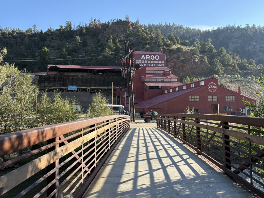
The Argo Mill & Tunnel, Idaho Springs — Gold Rush history a short walk from where we stayed.
This road is an amazingly beautiful ride of 28 miles of climbing 7000 feet to the elevation of 14,140 feet. There are many places where there is a drop off that helps conjure scenes from movies I remember seeing as a kid where a car would slide off the road and down the mountain. Also, we had to slow down one time because there were mountain goats in the road and people had stopped to observe them.
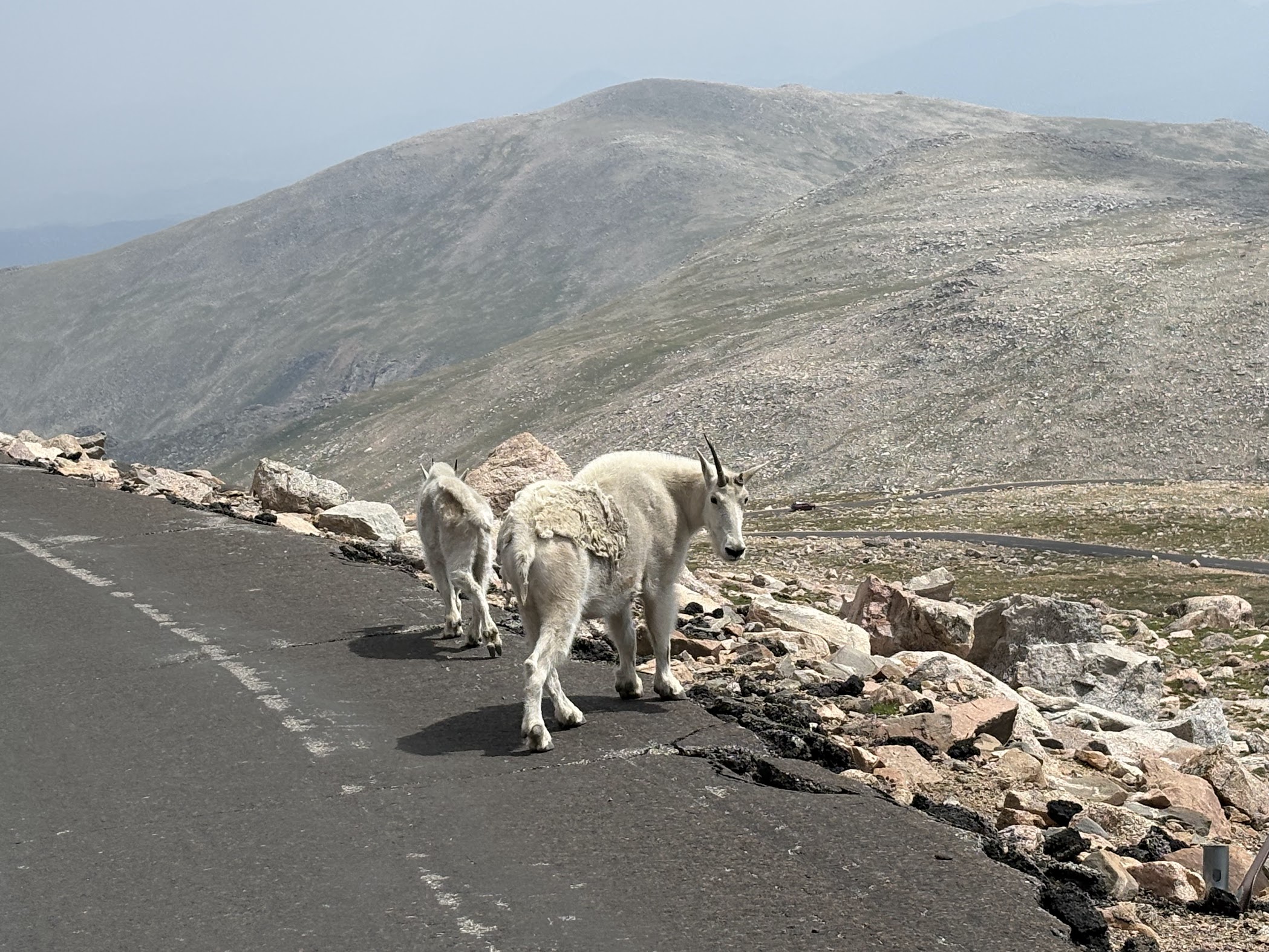
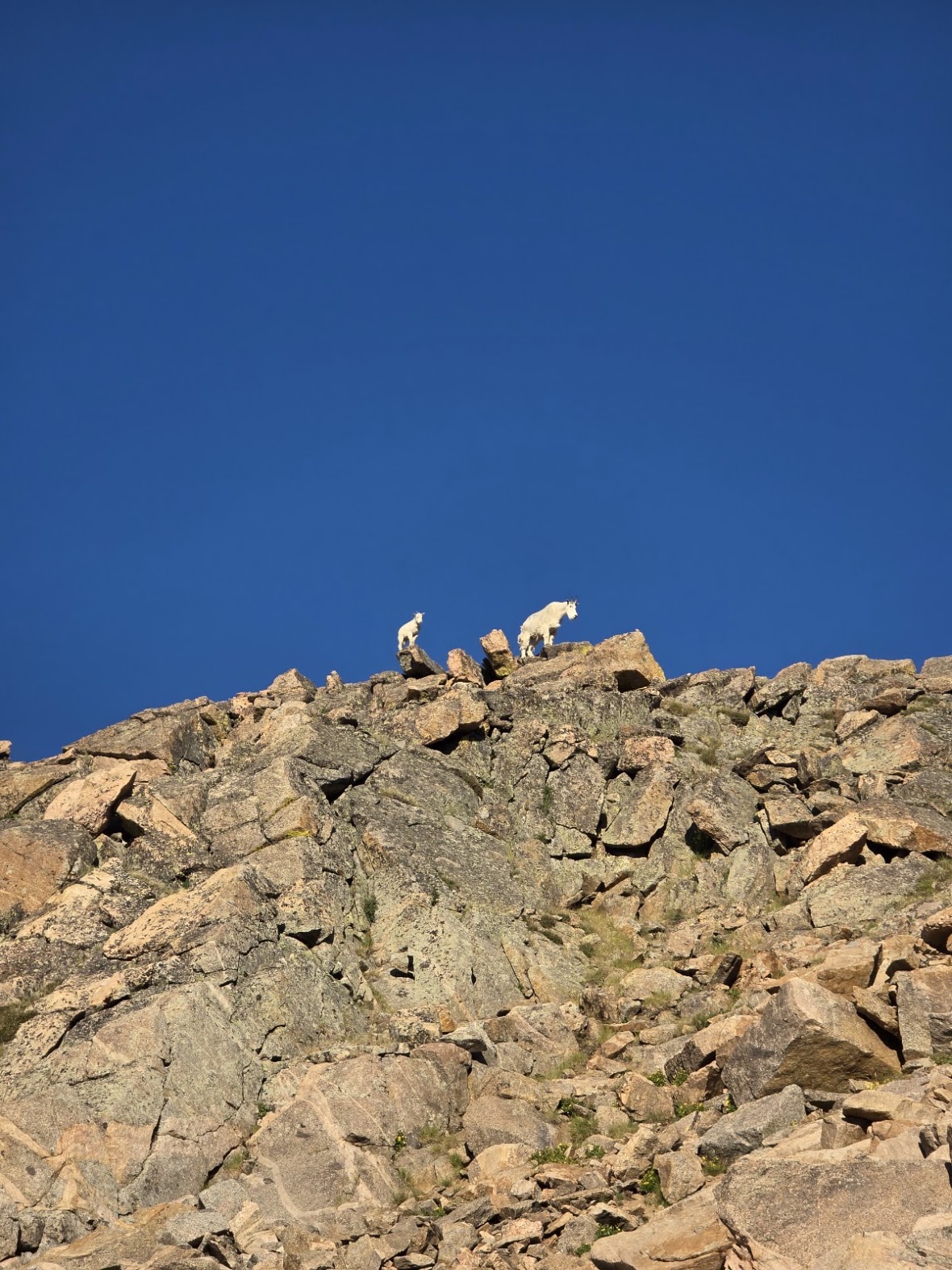
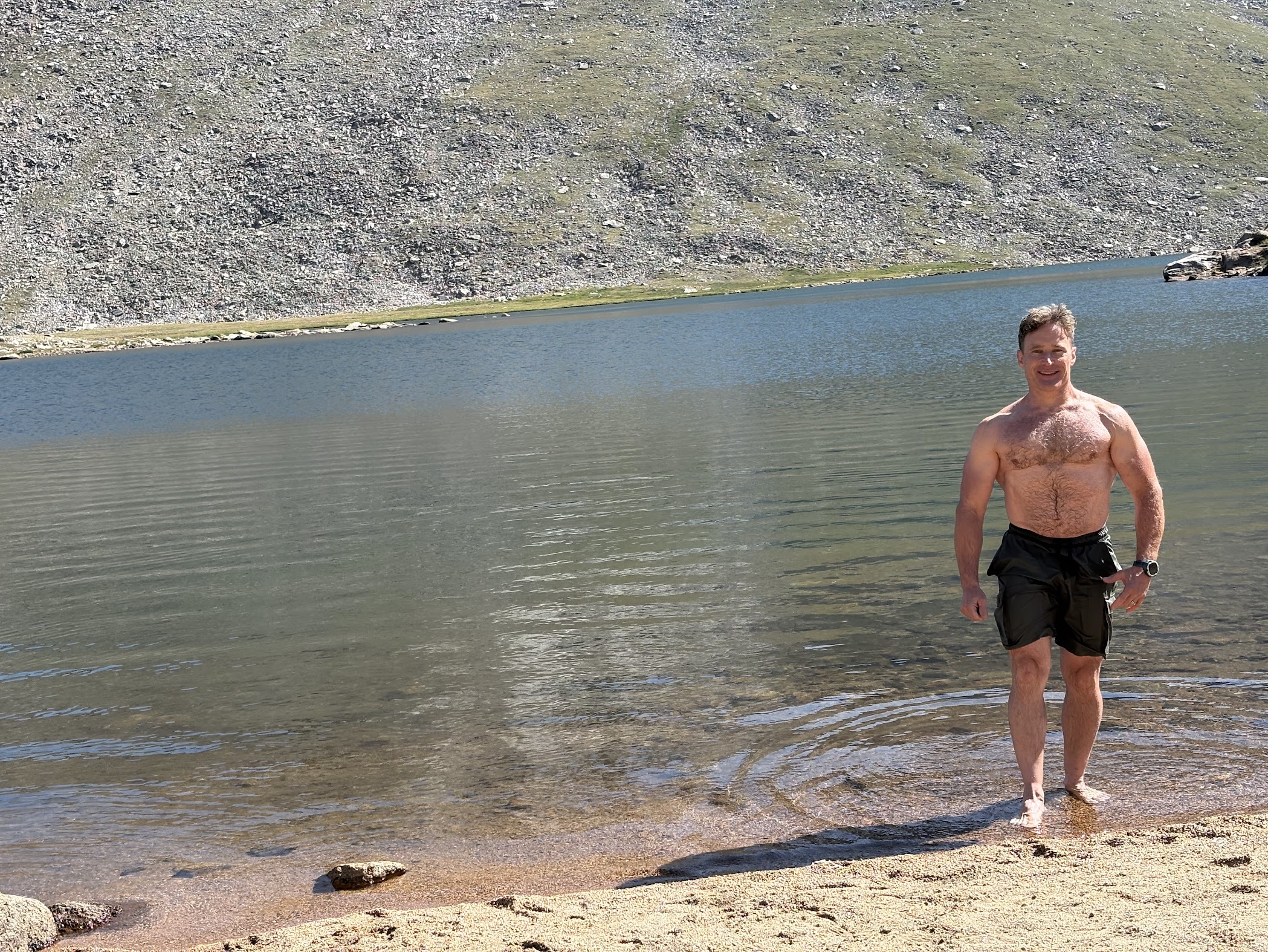
Along the way, around 11,000 feet, you ascend from the timberline into a tundra ecosystem passing by Summit Lake, which the day before our hike, I had taken a plunge there and suffice to say, it was an awakening experience.
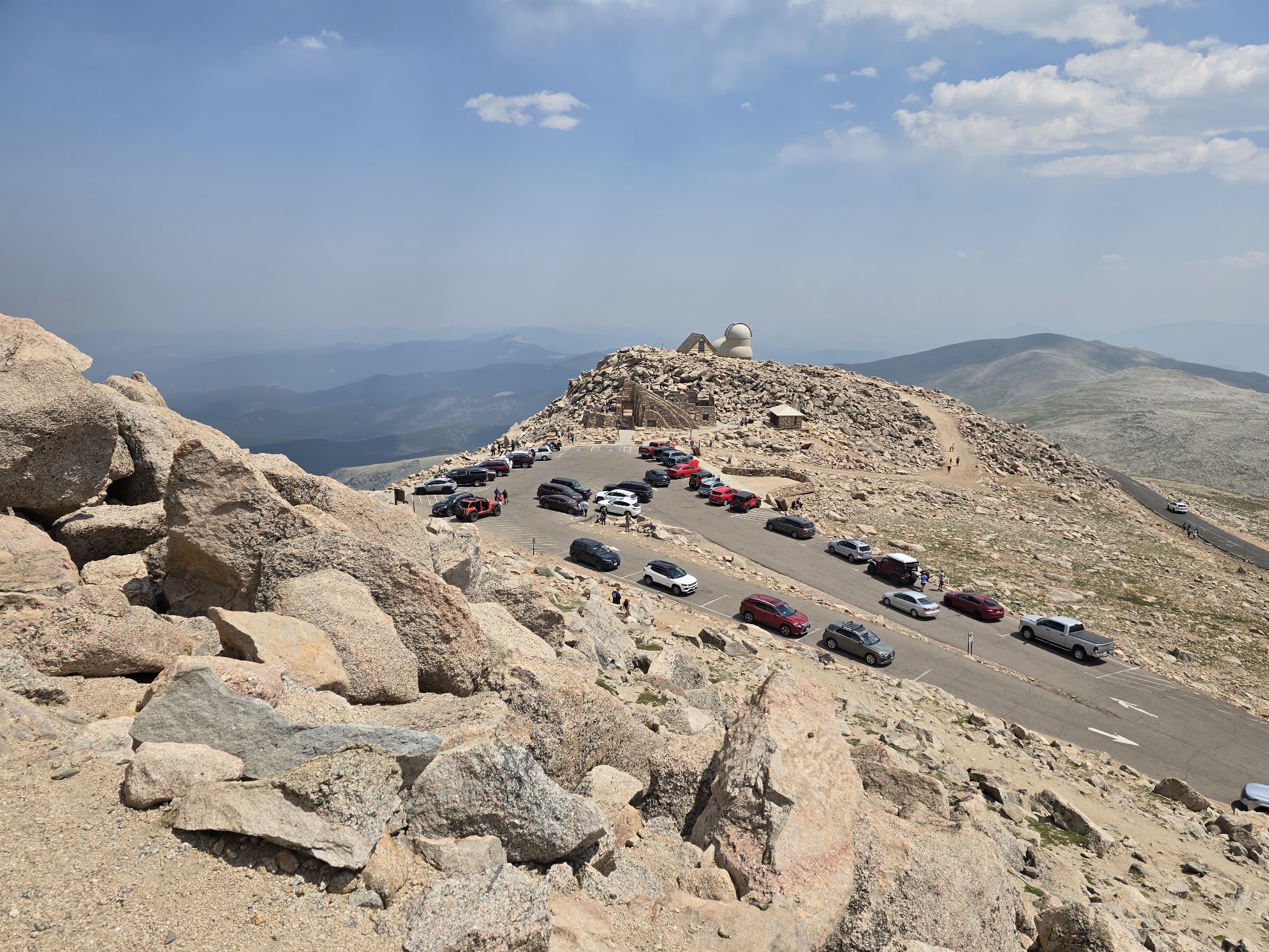
The road finally terminates at a parking lot where there is the Crest House Ruins, a restaurant that was destroyed by fire, as well as the Meyer–Womble Observatory.
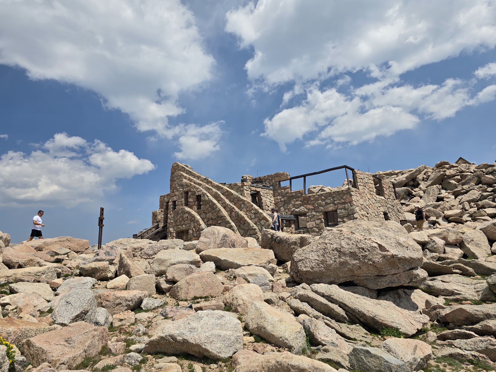
Crest House Ruins, 14,130 feet.
We retired early the night before to get an early start because the fact of it still being summer, in this region there can be thunderstorms in the late afternoon. We drove up to the end of Mt. Bluesky Scenic byway in the dark and arrived with some light beginning to show in the east. We decided to take this route in the reverse direction, starting from the ridge below Mt. Bluesky toward the jagged ridge that continues to the ridge that climbs up to Mt. Bierstadt.
This first ridge from Mount Blue Sky, the first “leg” of the hike if you want to think of it that way, wasn’t at all difficult until we reached the jagged ridge where it required climbing along one side of the ridge facing away from the basin and with a high–consequence, yet completely avoidable drop off. This is one of the places I knew would “extend” my comfort zone, and that it did. With Peter there to confirm my focusing in front of me, cognizant of where I was but not letting it affect as much as possible to continue moving.
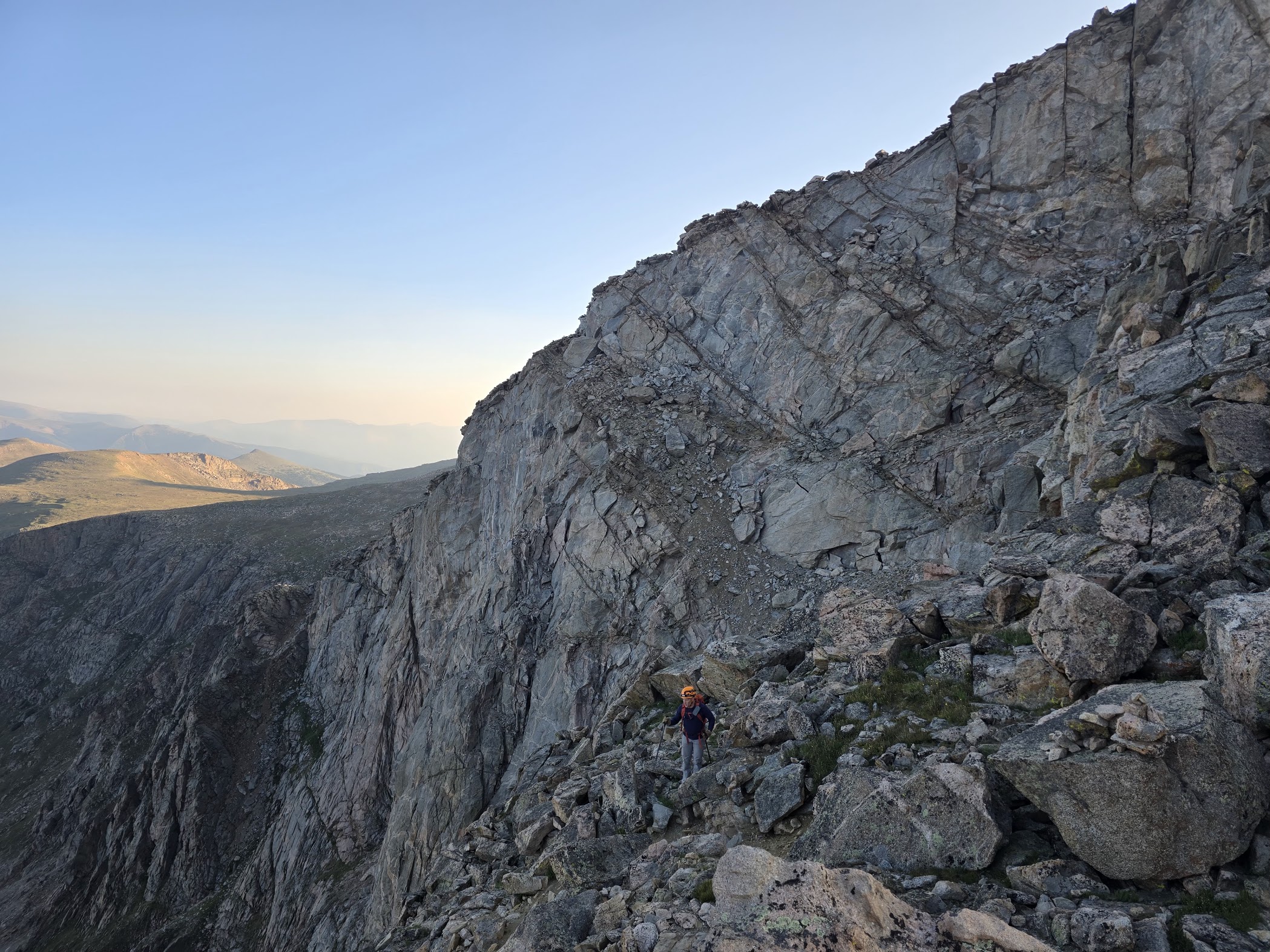
Not only that, so much of it was climbing up large rocks, moving over talus, and trying to continually look for cairns so as not to get off course. In the middle of the ridge, we switched sides to face Abyss Lake and the entirety of the basin valley.
As we ascended from the saddle for about an hour over mildly technical rocks and scree, climbing from around 13,000 feet up to Mount Bierstadt at 14,064 feet, this was the first time in the hike where we were ascending, and even though we had adjusted because we were both doing other hikes in the days leading up to this, we could still feel the altitude.
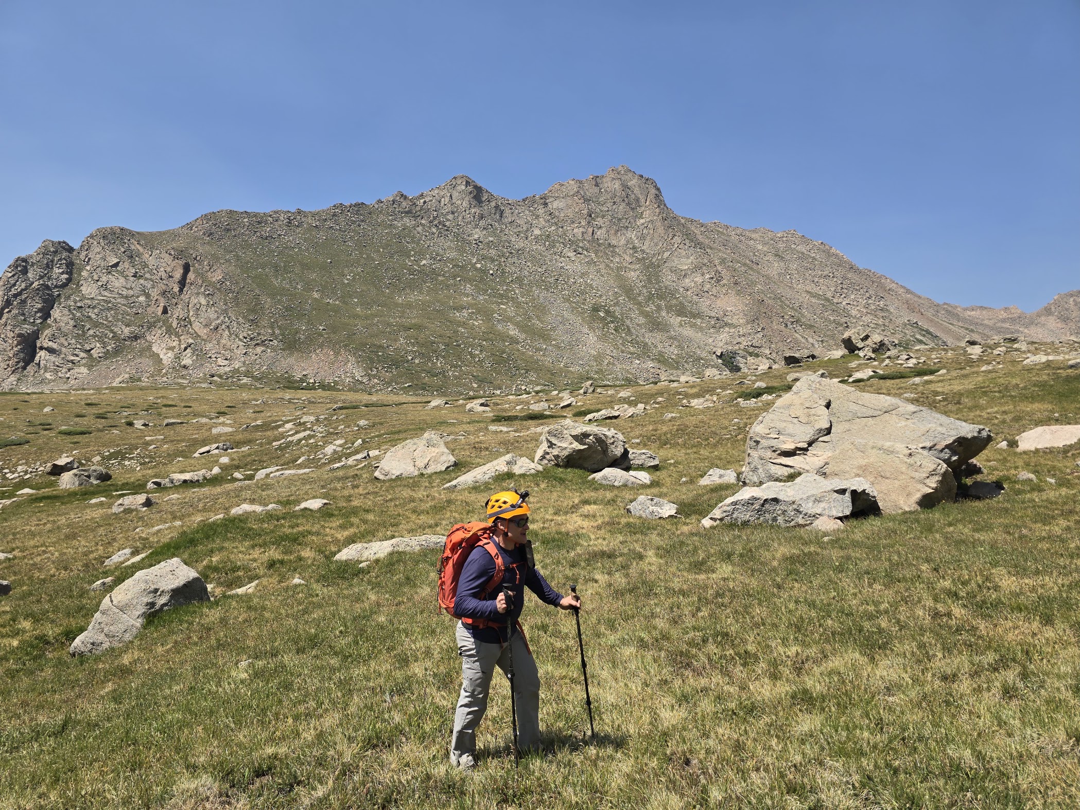
At the top, we enjoyed a quick lunch from atop Mt. Bierstadt. The view from up there was fantastic — since we were on the ridge, the only thing you could see to the west of where we started at Mount Blue Sky was that ridge, and we could see off into the distance the other peaks the Rockies have to offer.
We then continued on the ridge to head to where we’d need to get down to the basin. This was certainly more technical than the first ridge we started on because we were moving along the crest of the ridge. The further along we went, the more of a drop was realized on either side.
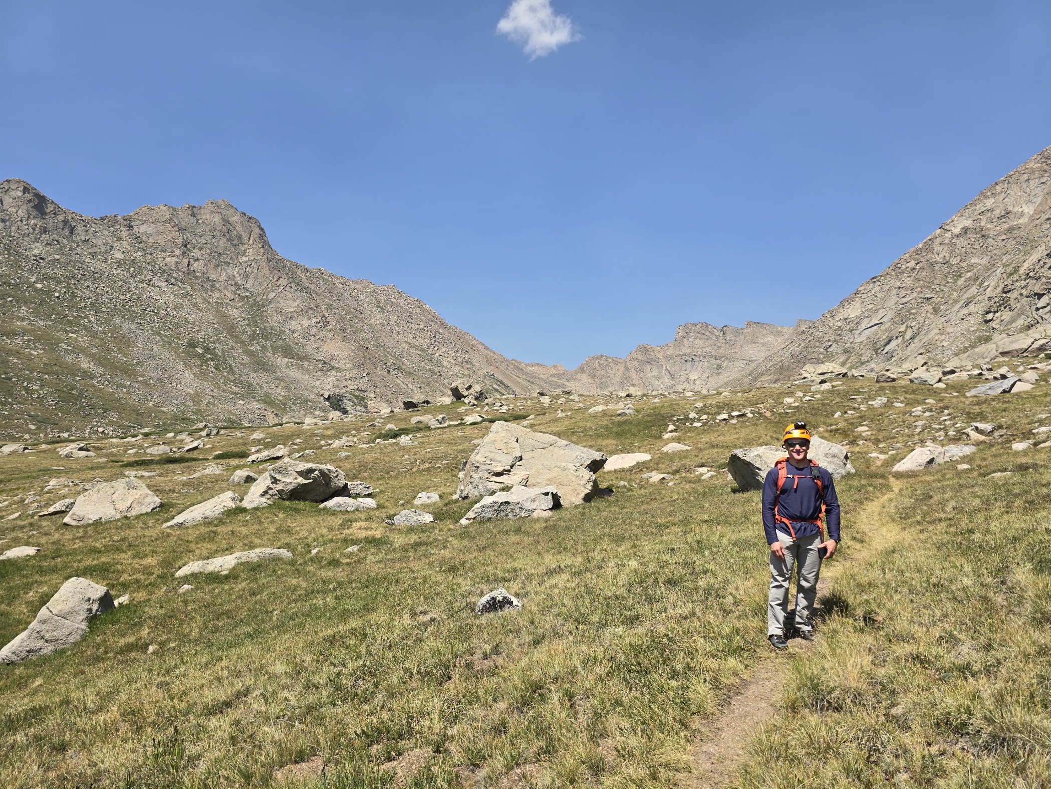
At one point, we had to come around some large rocks on the basin side. Peter could see I had a brief moment of being frozen and talked me through, offering help, but I decided to just tune out the vertical consequences around me and focus on exactly what was in front of me, and move past it — the same technique that, if you do more of it, really does start to become a habitual skill that helps you advance.
We were continuing along the ridge when it seemed we were at some sort of dead end that was a bit beyond the class of climb we wanted, so we back–tracked and for some time were trying to determine where and how we’d get down to the basin. According to the route we had studied weeks leading up to the trip, it was somewhere beyond Abyss Lake.
We noticed what seemed to be a less steep, north–facing, somewhat more lush ridge down to the basin, much of it covered with grass and other tundra plants and “slots” where we could climb down in increments, almost like graduations of terraces we could work our way down from. We found one and did some sliding down the rock to make it down one level. Of course, the butt of my pants was ripped from the continual sliding down some fairly coarse rock. After about four of these “slots” we made it to a level where it was even less steep, enough so that we could just start hiking down to the basin.
There were some intermittent areas of talus fields which, by this time in the hike, being somewhat fatigued, made it a bit more difficult. After some time, we reached the bottom of the basin. Peter was quite a bit ahead of me and had come to a small, shallow but incredibly crystal clear lake where he took some drone shots. It wasn’t that hot out, but the water looked incredible, and I considered getting my feet wet, but time was of the essence, so I took the opportunity to just enjoy the views from being down in the basin.
The butt of my pants was ripped from the continual sliding down some fairly coarse rock.
We headed toward the other side of the basin, having to cross through thick tundra brush and the creek draining from the lake. There was no marked trail, just the direction we seemed we needed to go from navigation and vision.
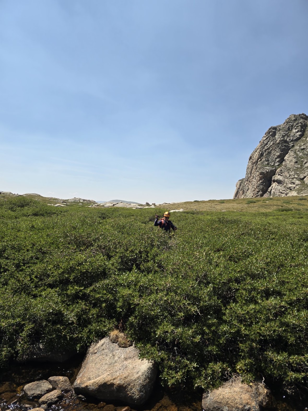
We finally intersected a worn trail and continued on to the point that headed up a ravine, up the basin wall, that would take us up to Mount Blue Sky. We were so tired that we were like climbing machines, just moving forward to get up to the top of the last ridge.
The ravine climb wasn’t technical, it was just a slog, and I recall it being well over a thousand feet of climbing — one foot after the other, breathe, step, breathe, a bit like Sisyphus, but without pushing up a huge boulder.
We made it to the top of the ridge, a bit of a slowly sloping high area where we were close to the Mount Blue Sky Scenic byway, a few miles from where it ends in the parking lot, signaling in our minds that we were on the home stretch. This final stretch was moderate climbing, bisecting each switchback of the byway, though being it was getting close to the end, we just continued moving upward, going higher from 13,000 feet to 14,410 feet — the altitude was even more noticeable.
We finally reached the observatory and parking area and, to complete the circuit, walked to the last part of the hiking trail that went to the top of Mount Blue Sky for a great photo and a view of Summit Lake on the other side of the ridge.
We send something when there's something to send. Upcoming climbs, open spots, and the odd story worth your time.
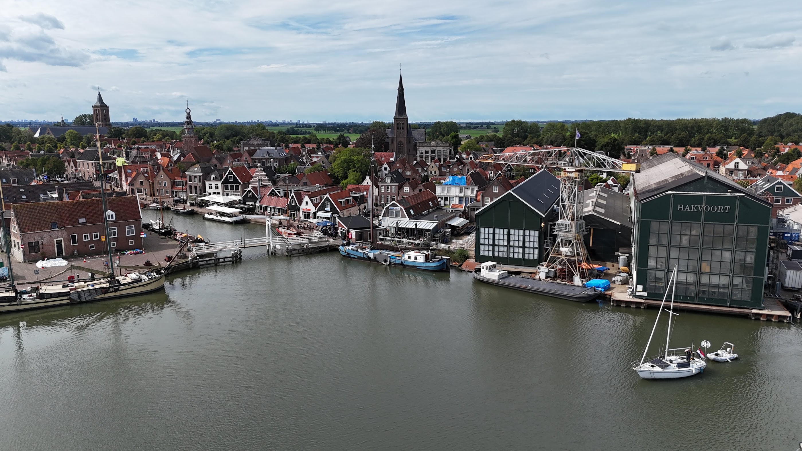
Twelve geeks extended Percona Live with an e-bike day through Waterland, a guided Badhus sauna, and a paddle down the Amstel.
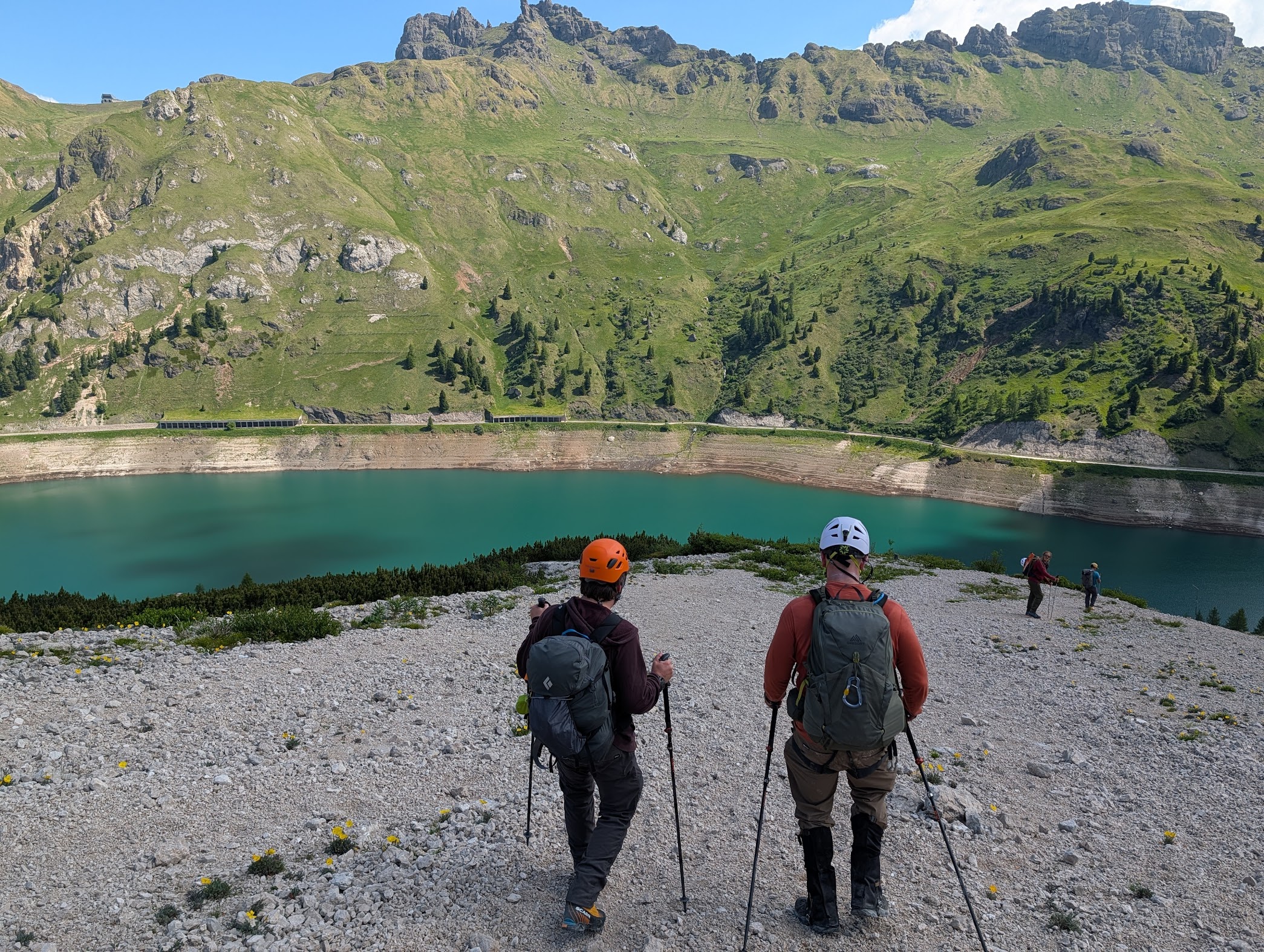
Seven geeks, one week in Alta Badia: the Crëp de Sela hike, via ferratas Les Cordes and Tridentina, and a night in the highest rifugio in Italy.
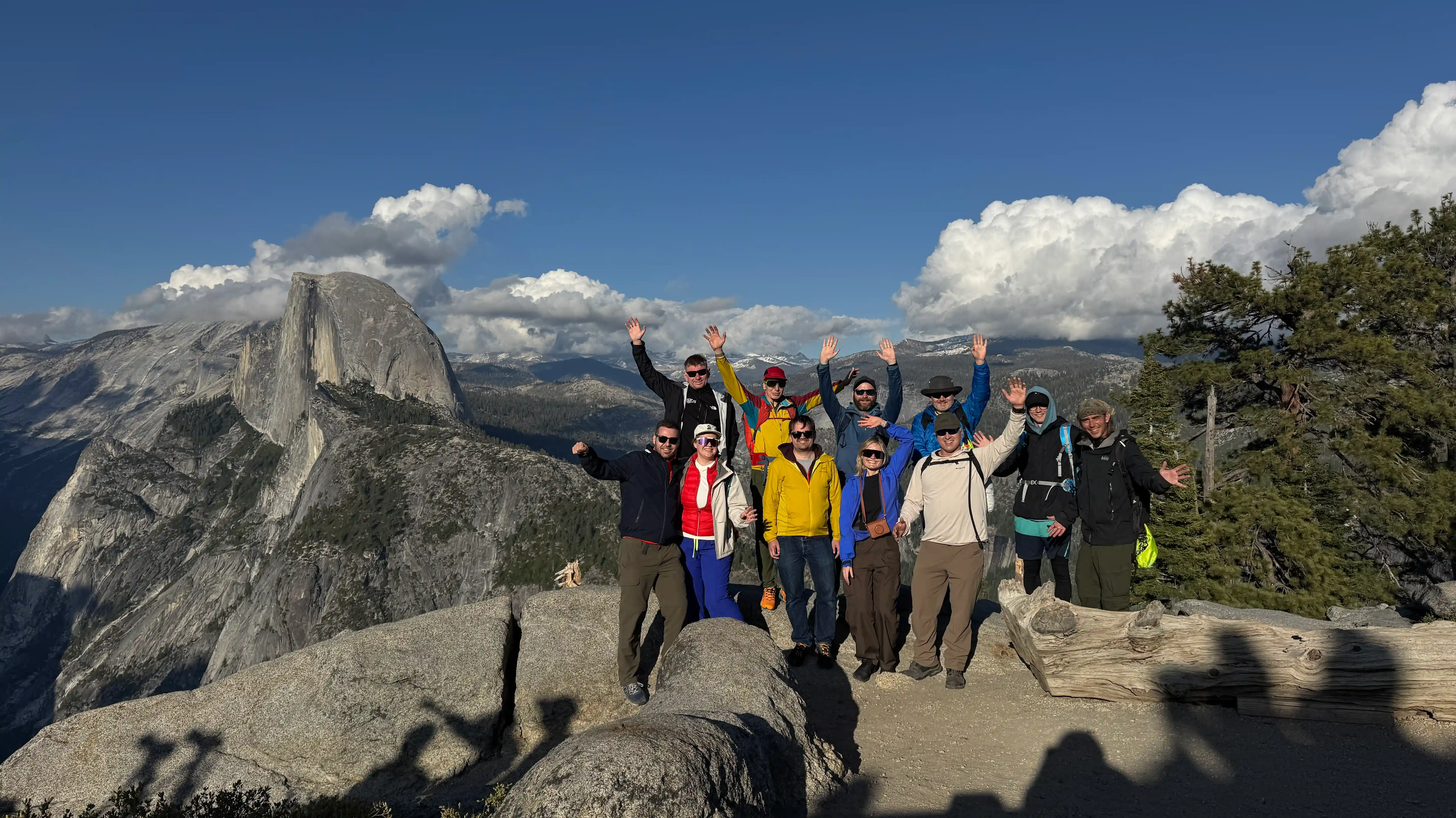
After Percona Live Bay Area 2026, twelve of us had a weekend and a plan: Yosemite. Four days, 16 km of trail, seven climbing routes at Camp 4, and one very strange hotel room assignment. The park held up its end.